


(log in to access this feature)

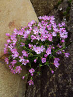
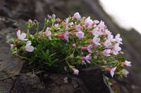
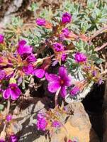
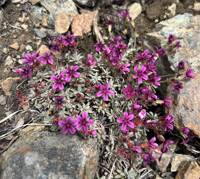
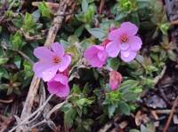
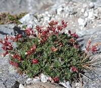
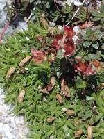
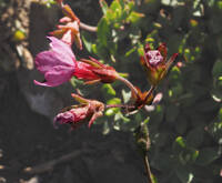
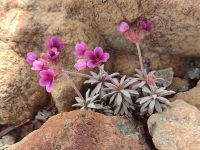
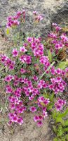
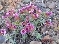
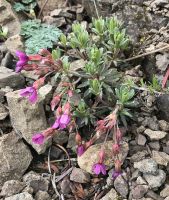
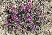
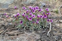
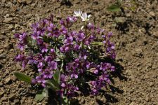
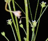
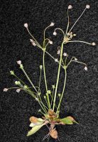
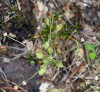
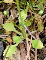
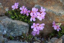
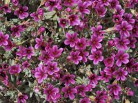
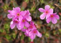
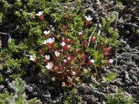
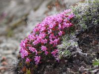
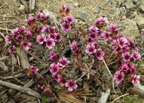
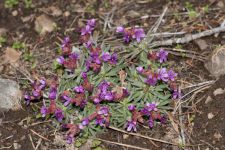
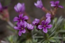
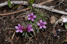
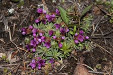
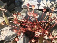
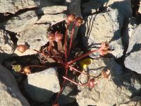
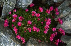
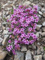
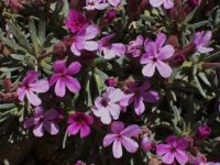
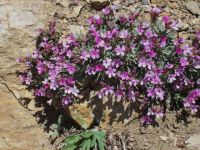
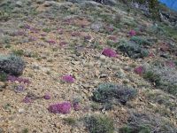
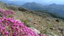
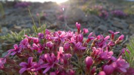
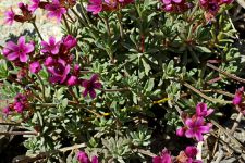
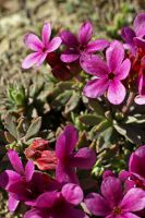
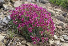
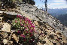
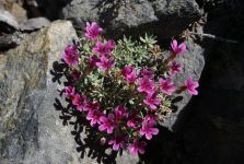
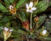
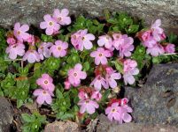
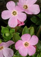
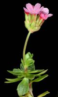
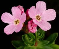
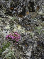
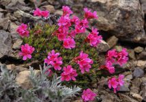
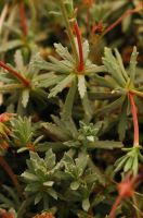
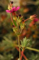
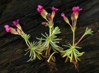
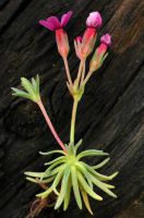
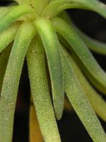
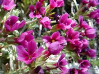
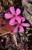
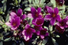
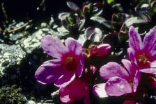
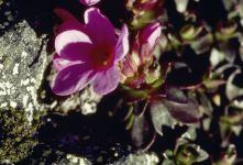
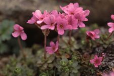
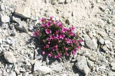
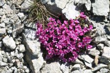
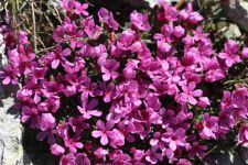
Photo © 2026 Adam Schneider. Please contact the photographer to request permission to use this photo. If the photographer cannot be reached, inquire with the Collections Manager.
Photo metadata:
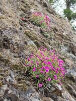
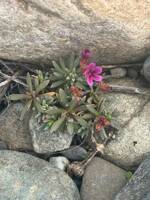
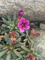
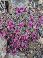
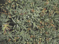
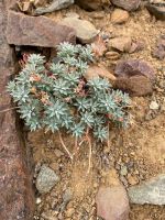
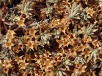
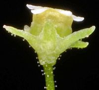
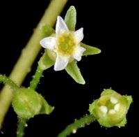
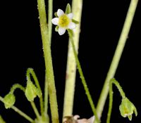
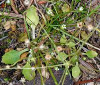
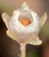
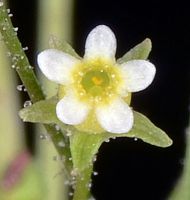
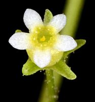
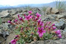
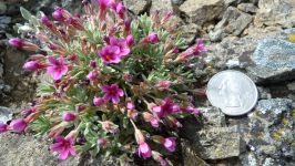
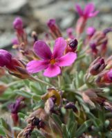
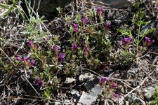
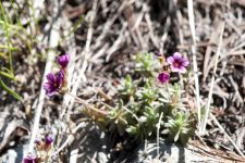
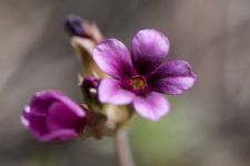
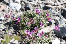
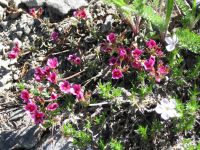
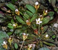
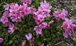
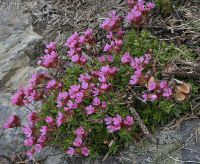
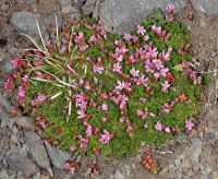
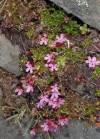
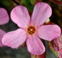
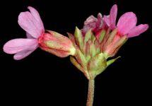
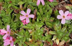
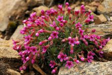
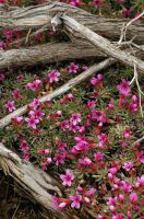
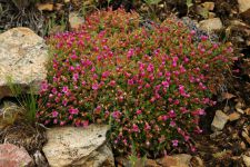
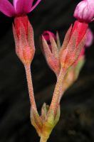
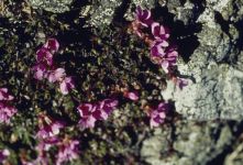
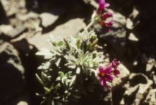
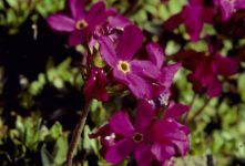
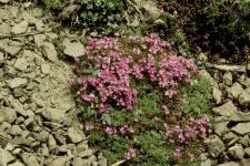
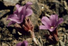
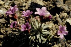
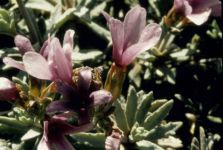
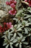
Original identification: Douglasia laevigata
Current identification: Androsace laevigata
Photographer: Adam Schneider
Date Photographed: March 30, 2026
Location: U.S.A., Oregon, Hood River County: Historic Columbia River Highway, below Mitchell Point.
Elevation: 190 ft.
Coordinates: 45.70405° N, 121.61787° W
Phenology: Flowers