


(log in to access this feature)
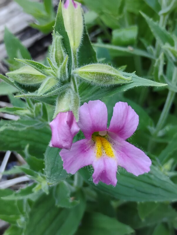
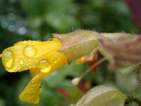
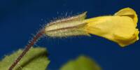
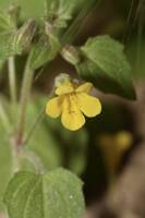
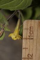
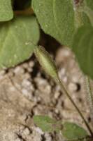
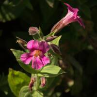
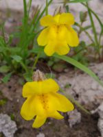
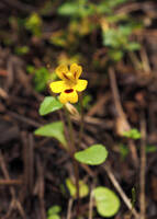
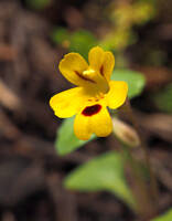
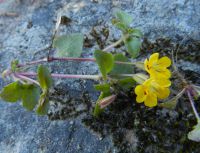
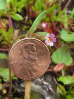
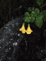
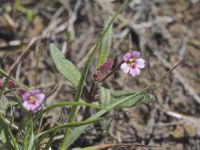
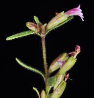
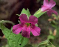
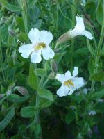
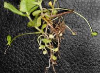
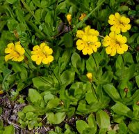
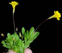
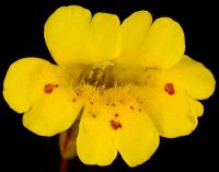
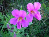
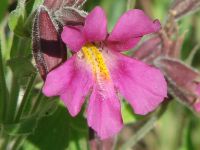
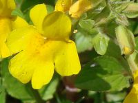
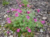
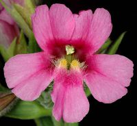
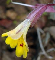
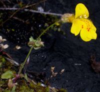
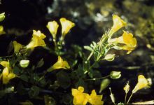
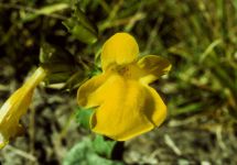
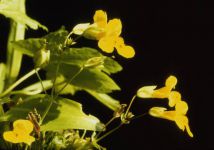
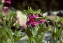
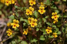
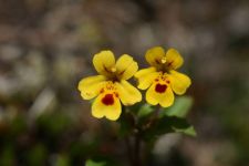
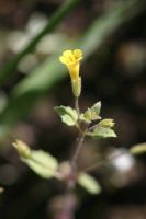
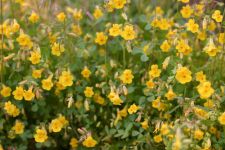
Photo © 2025 David Giblin. Usage restrictions: CC-BY-Attribution. You are free to use, distribute, remix, tweak, and build upon this work, even commercially, as long as you credit the photographer. For more information see: https://creativecommons.org/licenses/.
(Contact the photographer.)
Photo metadata:
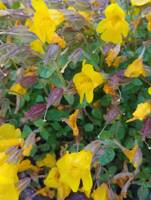
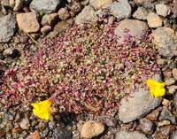
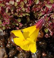
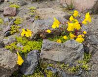
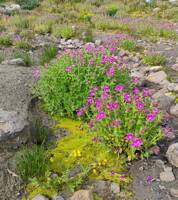
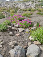
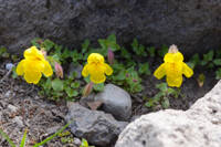
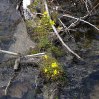
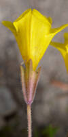
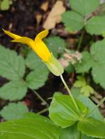
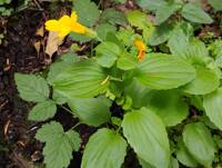
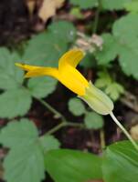
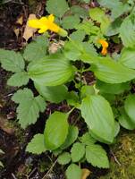
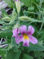
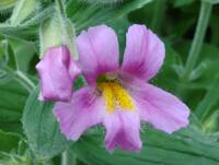
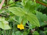
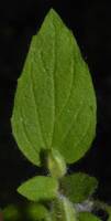
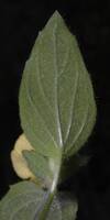
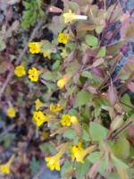
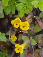
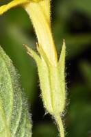
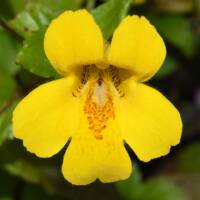
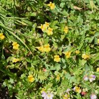
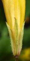
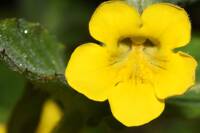
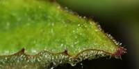
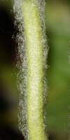
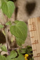
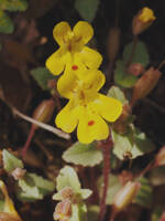
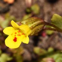
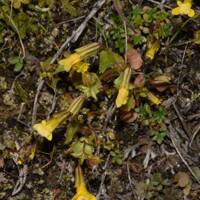
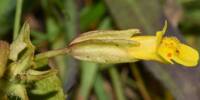
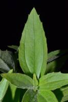
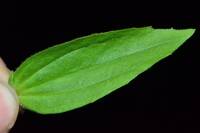
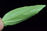
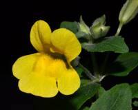
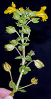
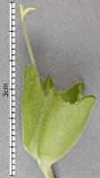
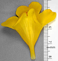
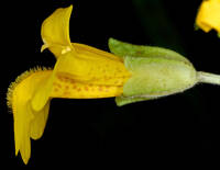
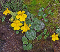
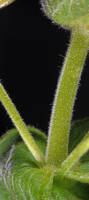
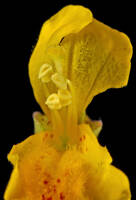
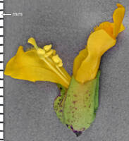
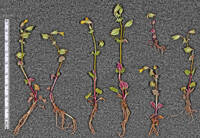
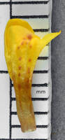
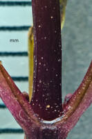
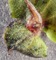
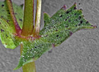
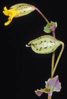
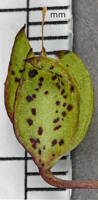
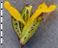
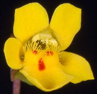
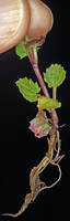
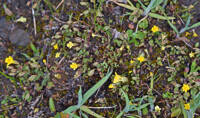
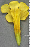
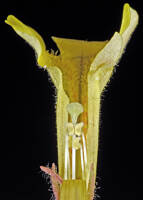
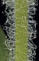
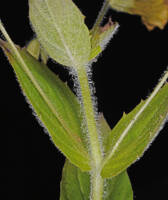
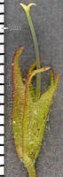
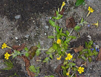
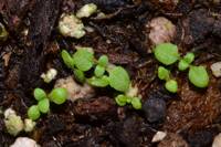
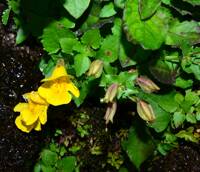
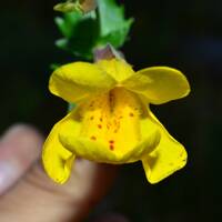
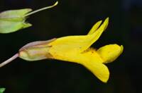
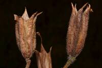
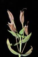
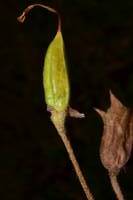
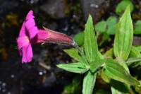
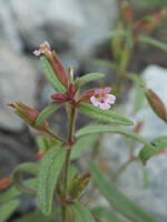
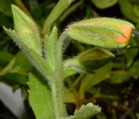
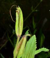
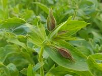
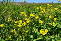
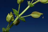
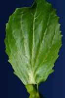
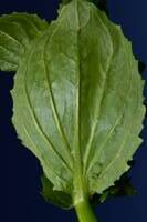
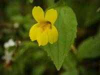
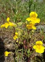
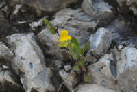
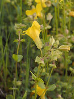
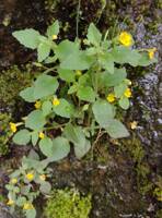
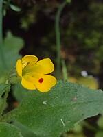
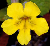
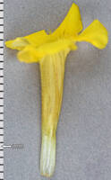
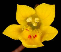
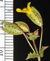
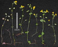
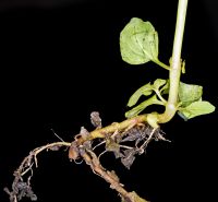
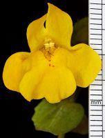
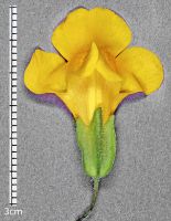
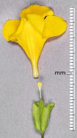
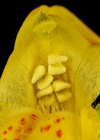
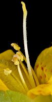
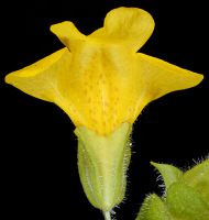
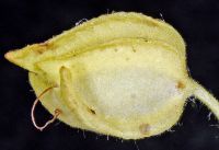
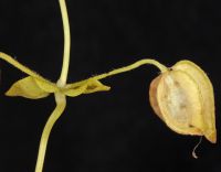
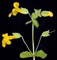
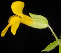
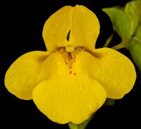
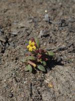
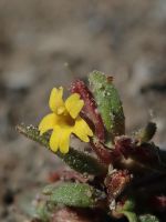
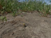
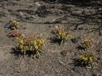
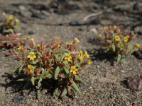
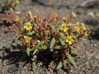
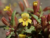
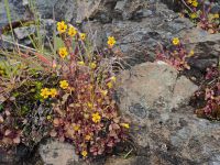
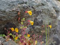
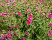
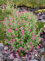
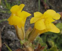
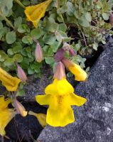
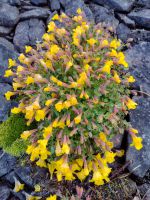
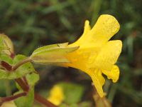
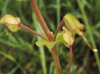
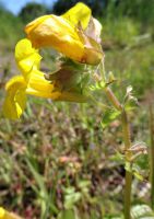
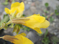
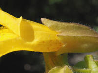
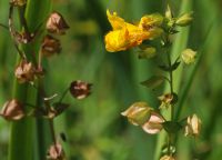
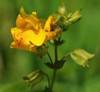
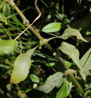
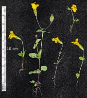
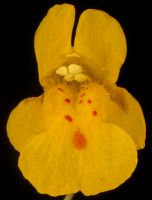
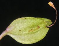
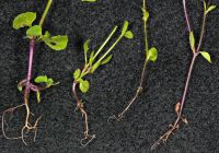
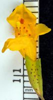
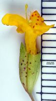
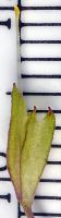
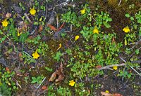
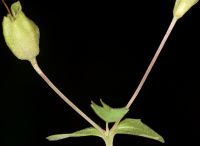
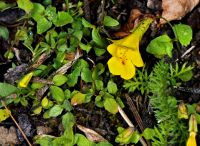
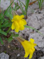
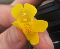
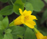
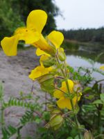
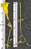
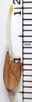
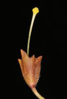
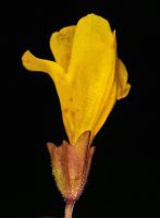
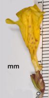
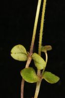
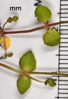
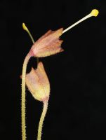
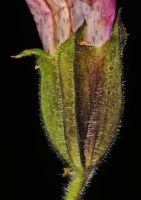
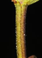
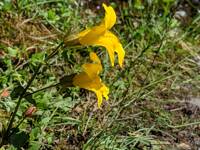
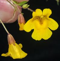
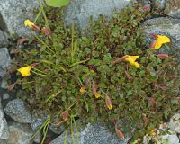
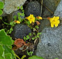
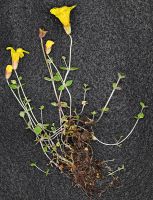
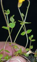
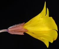
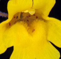
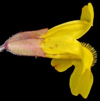
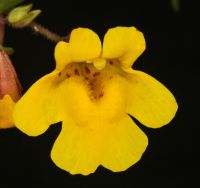
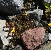
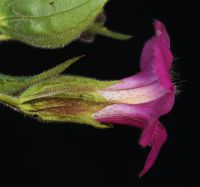
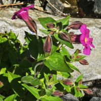
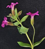
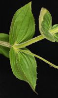
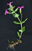
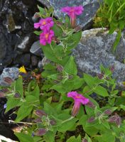
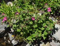
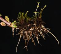
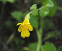
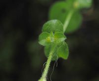
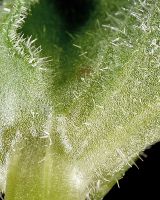
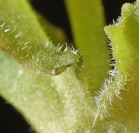
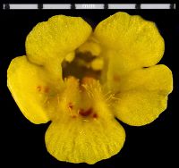
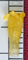
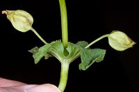
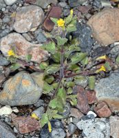
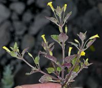
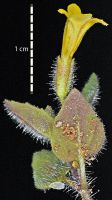
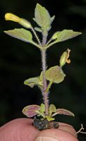
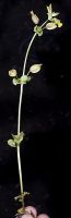
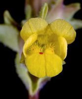
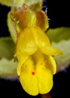
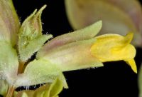
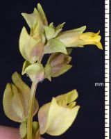
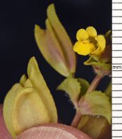
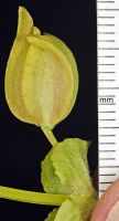
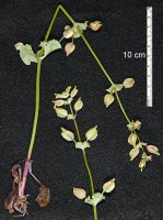
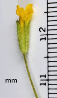
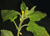
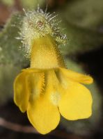
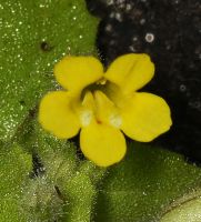
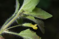
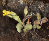
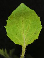
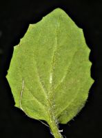
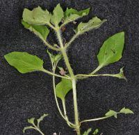
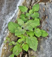
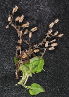
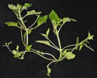
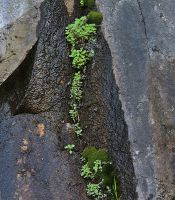
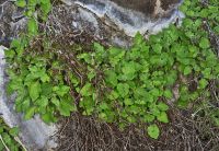
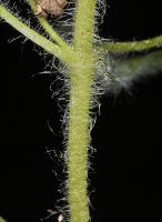
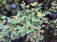
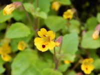
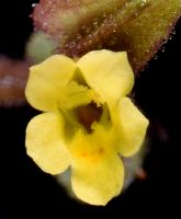
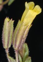
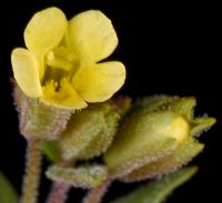
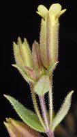
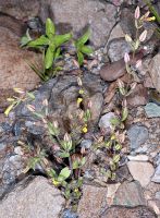
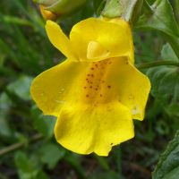
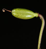
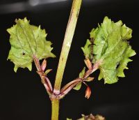
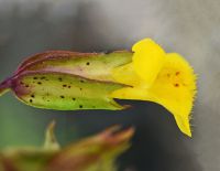
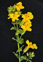
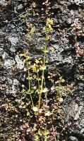
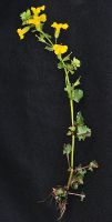
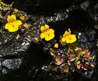
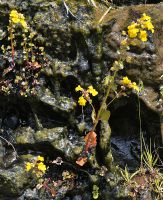
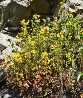
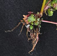
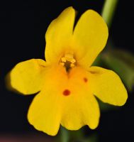
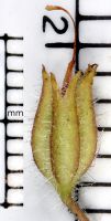
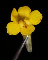
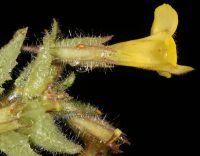
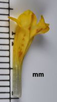
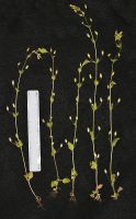
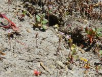
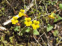
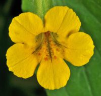
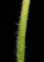
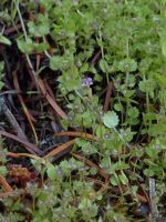
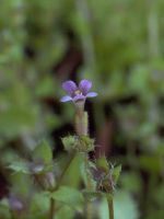
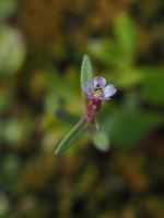
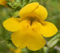
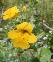
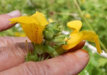
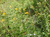
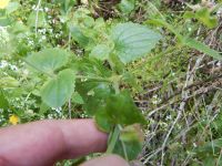
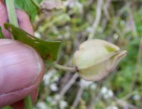
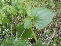
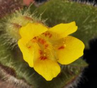
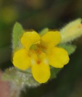
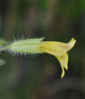
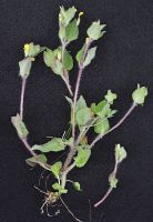
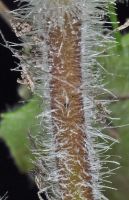
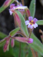
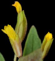
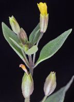
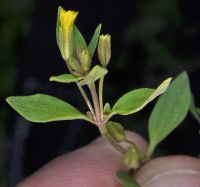
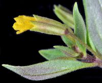
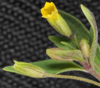
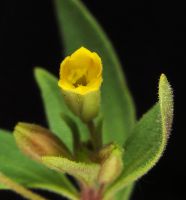
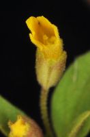
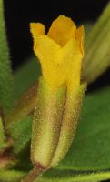
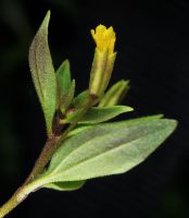
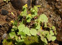
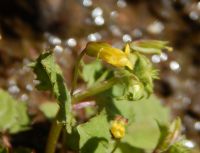
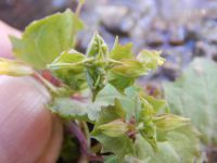
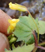
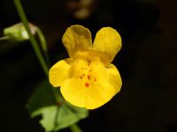
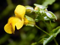
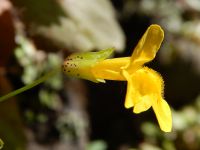
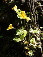
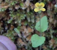
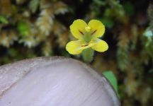
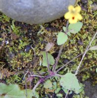
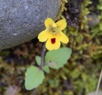
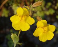
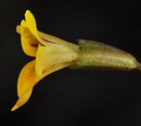
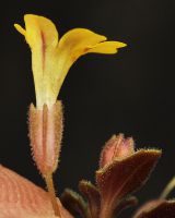
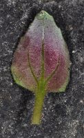
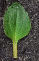
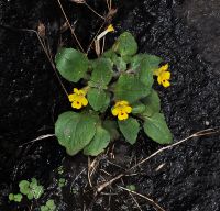
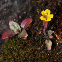
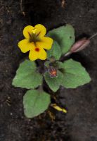
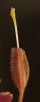
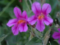
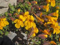
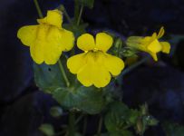
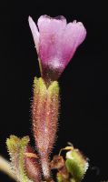
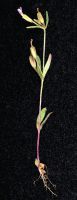
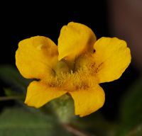
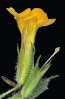
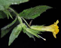
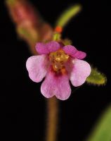
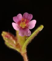
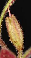
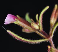
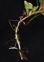
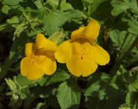
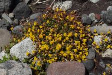
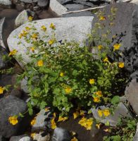
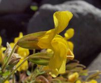
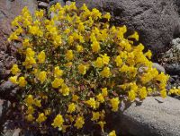
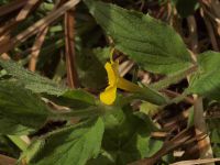
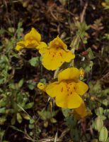
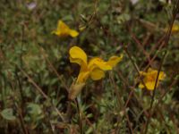
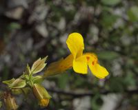
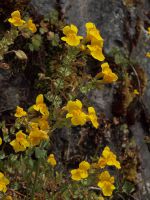
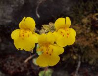
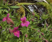
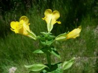
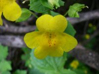
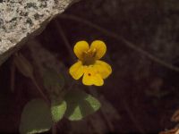
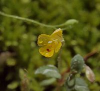
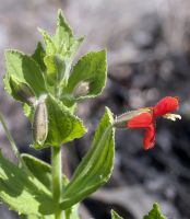
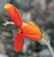
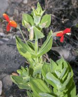
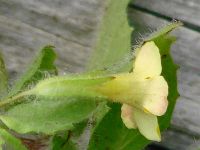
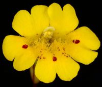
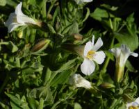
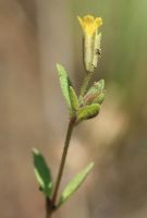
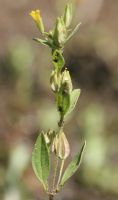
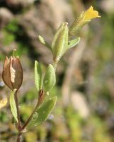
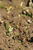
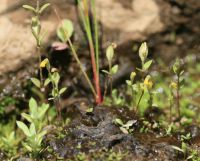
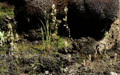
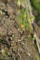
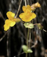
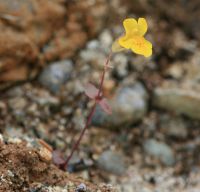
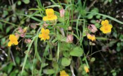
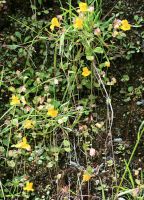
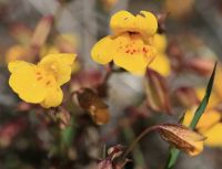
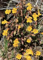
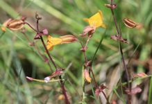
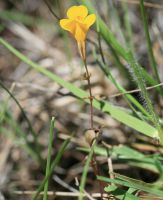
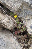
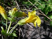
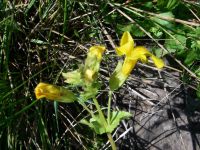
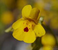
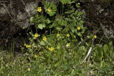
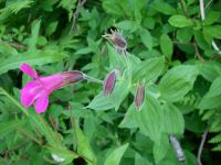
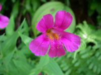
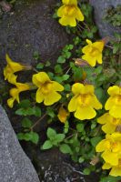
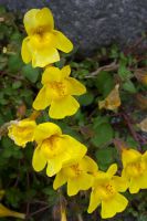
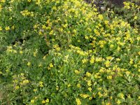
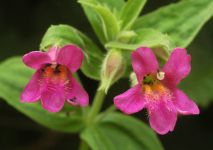
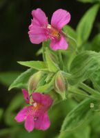
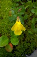
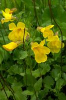
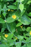
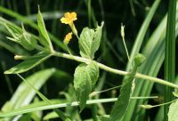
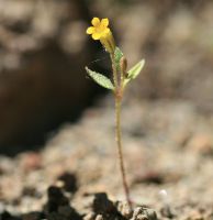
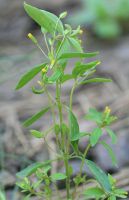
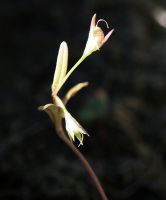
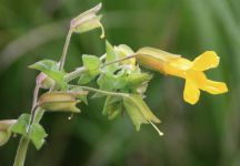
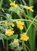
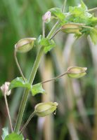
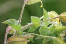
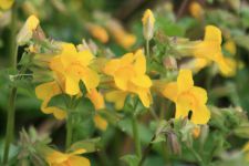
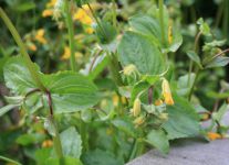
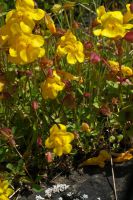
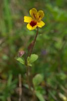
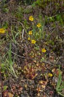
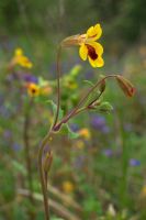
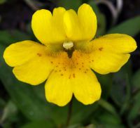
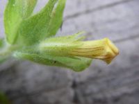
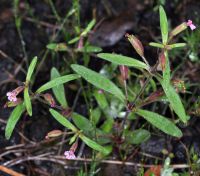
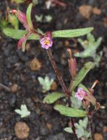
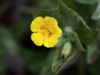
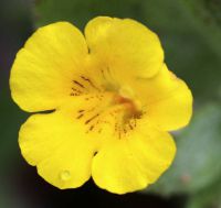
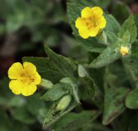
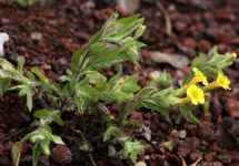
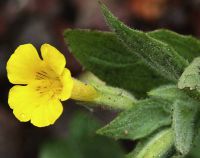
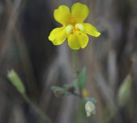
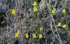
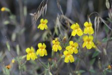
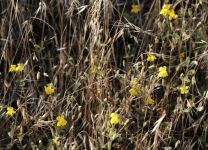
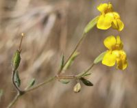
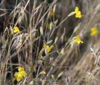
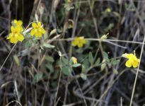
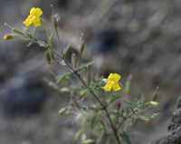
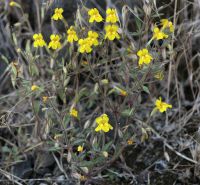
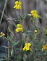
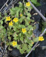
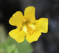
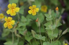
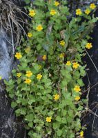
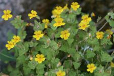
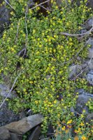
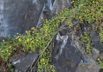
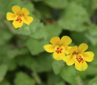
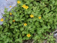
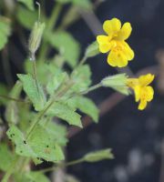
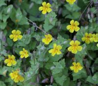
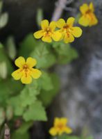
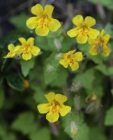
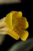
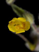
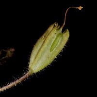
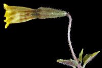
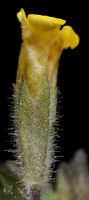
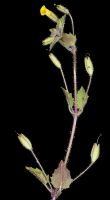
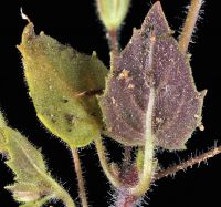
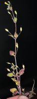
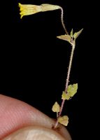
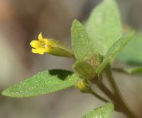
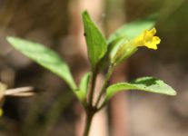
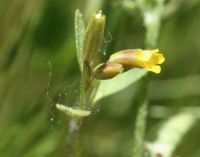
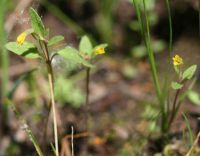
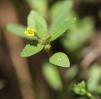
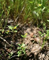
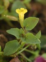
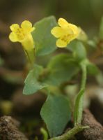
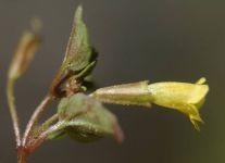
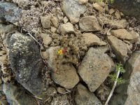
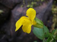
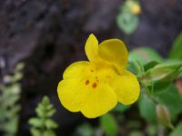
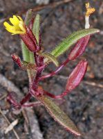
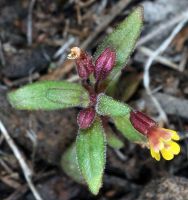
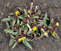
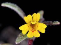
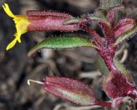
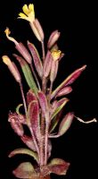
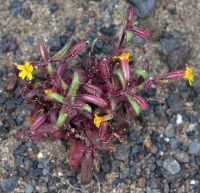
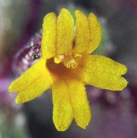
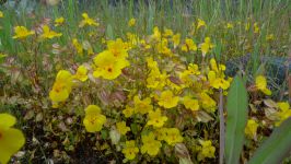
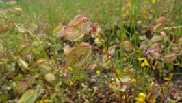
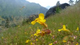
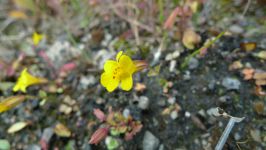
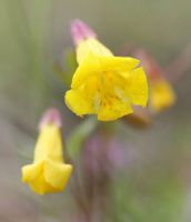
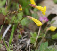
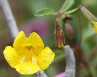
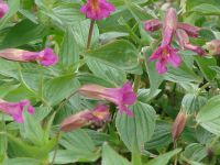
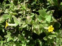
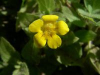
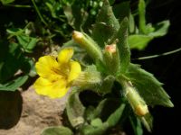
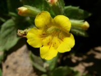
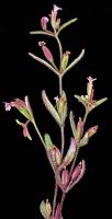
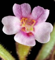
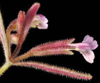
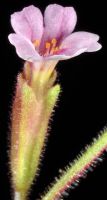
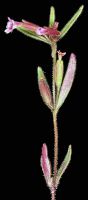
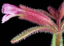
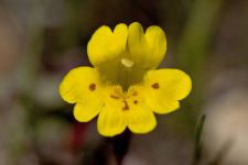
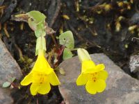
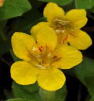
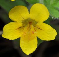
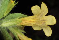
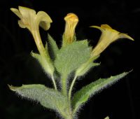
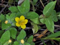
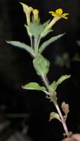
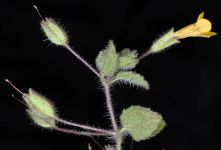
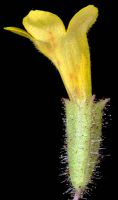
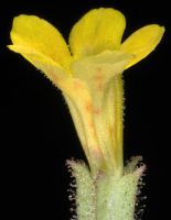
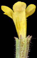
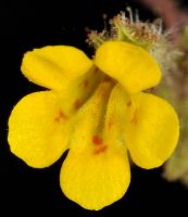
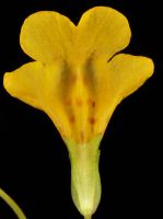
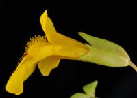
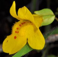
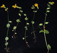
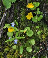
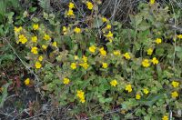
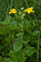
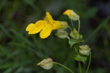
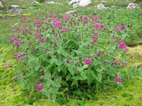
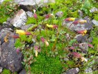
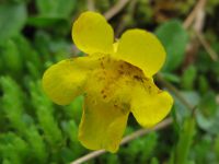
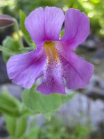
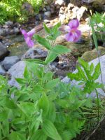
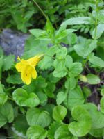
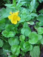
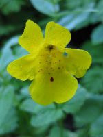
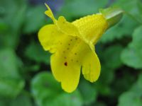
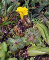
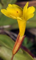
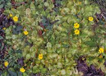
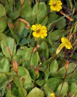
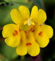
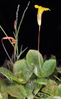
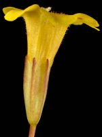
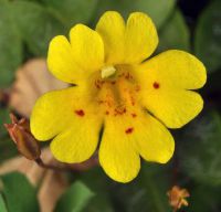
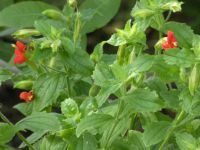
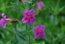
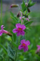
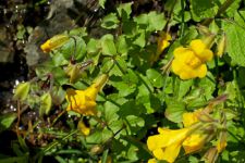
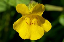
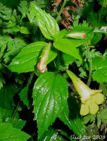
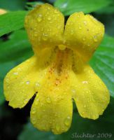
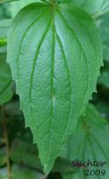
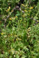
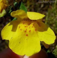
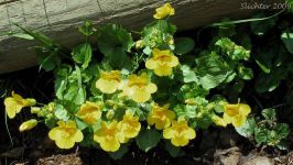
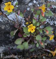
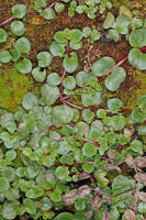
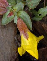
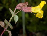
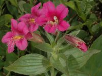
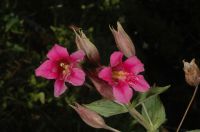
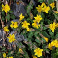
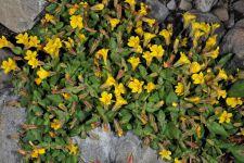
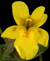
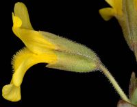
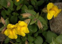
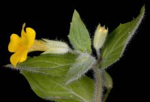
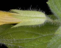
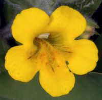
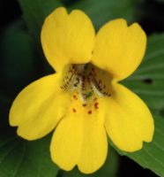
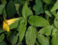
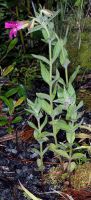
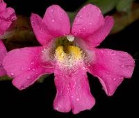
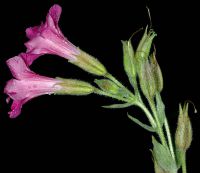
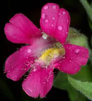
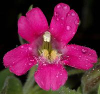
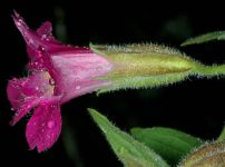
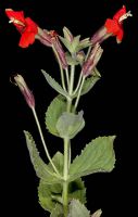
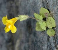
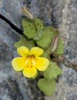
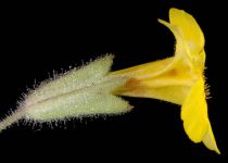
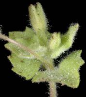
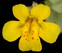
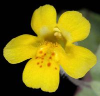
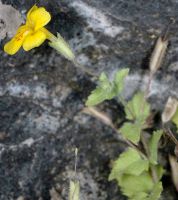
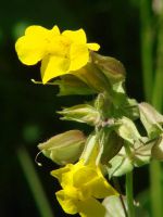
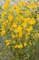
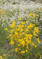
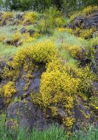
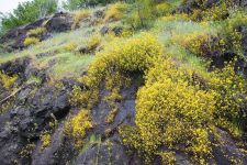
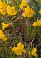
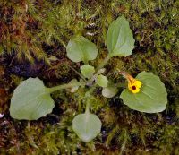
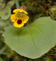
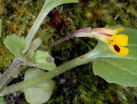
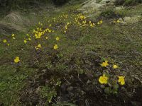
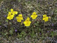
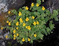
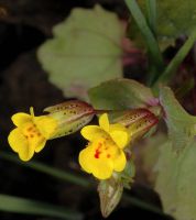
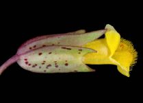
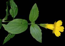
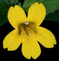
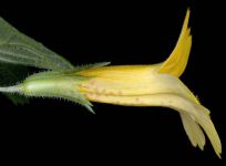
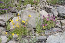
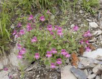
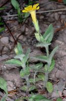
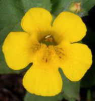
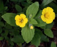
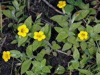
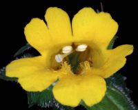
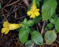
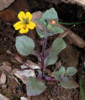
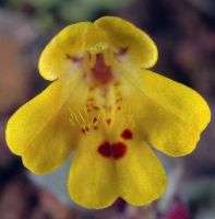
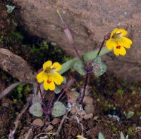
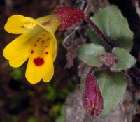
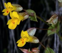
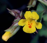
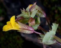
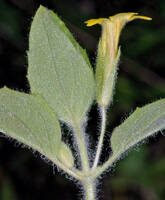
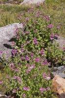
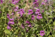
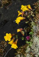
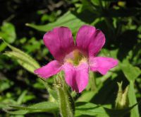
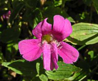
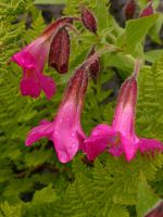
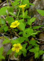
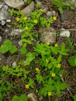
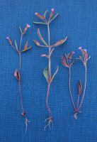
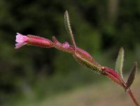
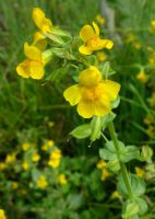
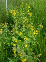
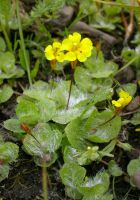
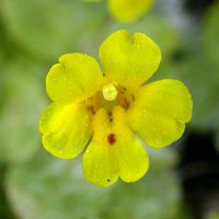
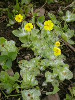
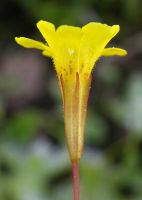
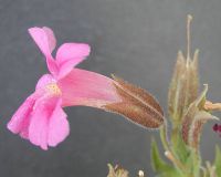
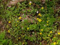
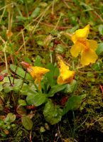
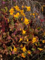
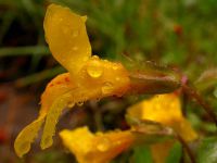
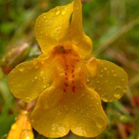
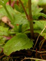
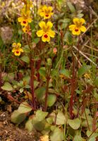
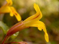
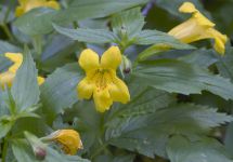
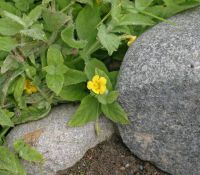
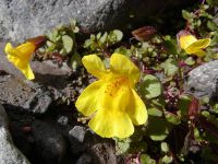
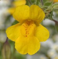
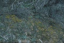
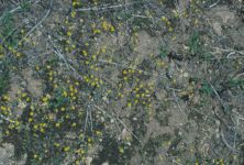
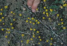
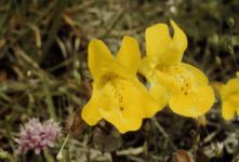
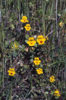
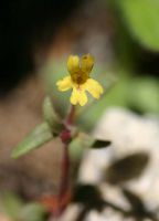
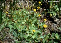
Original identification: Erythranthe lewisii
Current identification: Erythranthe lewisii
Photographer: David Giblin
Date Photographed: July 15, 2025
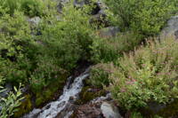
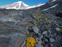
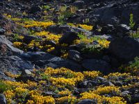
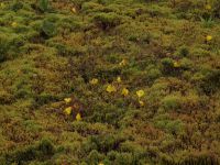
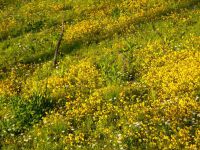
Location: U.S.A., Washington, Yakima County: Creek just west of Mt. Aix Trailhead.
Elevation: 1092 m.
Coordinates: 46.813311° N, 121.306617° W
Uncertainty: 5 m.
Datum: WGS 84
Coordinate Source: GPS
Phenology: Flowers